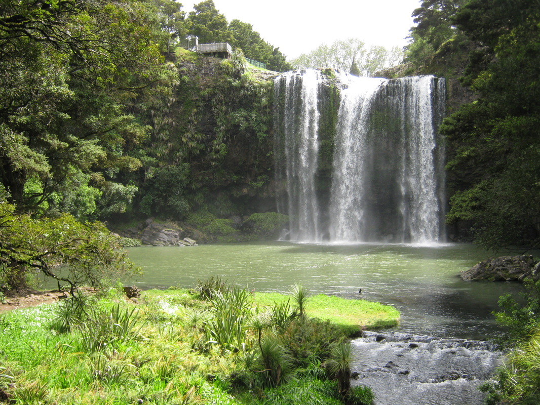
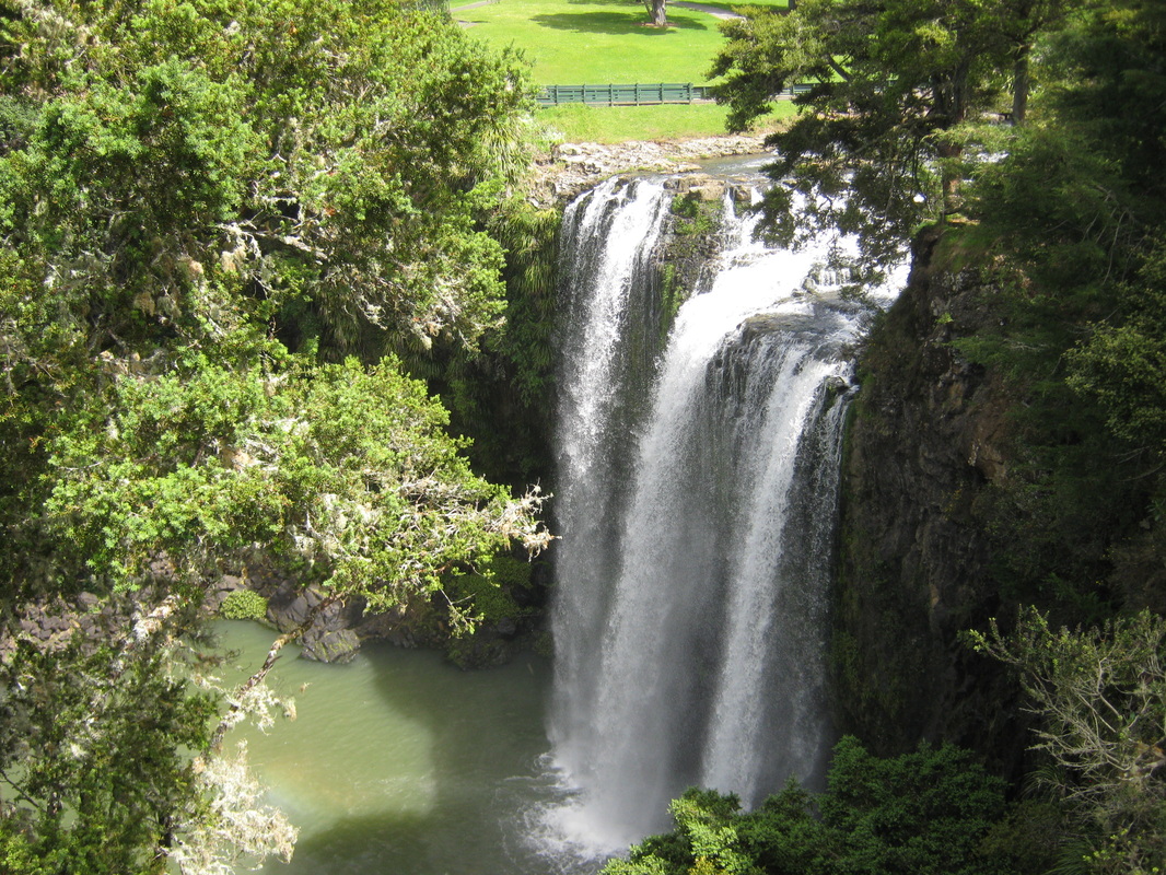
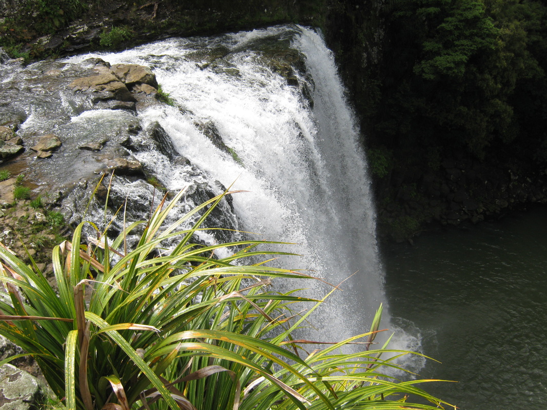
Header photograph shows the Whangarei Falls as they plunge into the Hatea River.
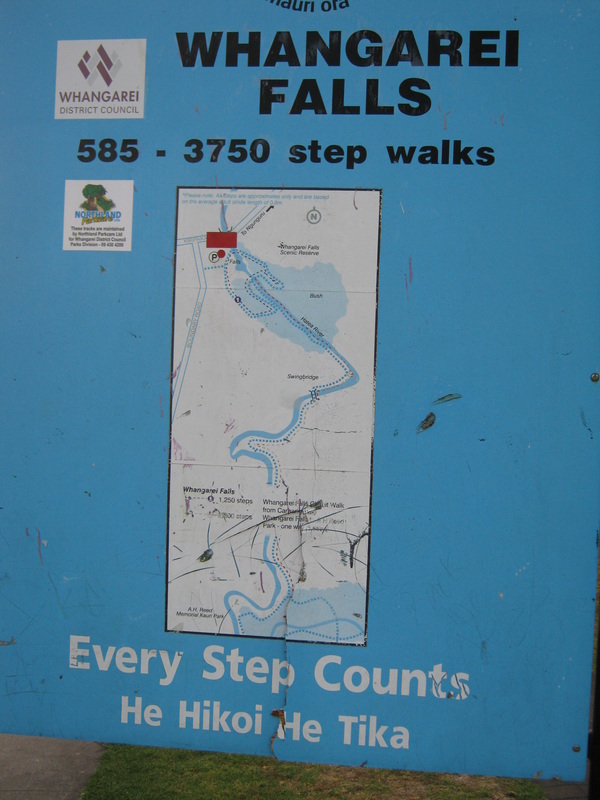
THE WAHANGAREI FALL SCENIC RESERVE.
A BRIEF HISTORY
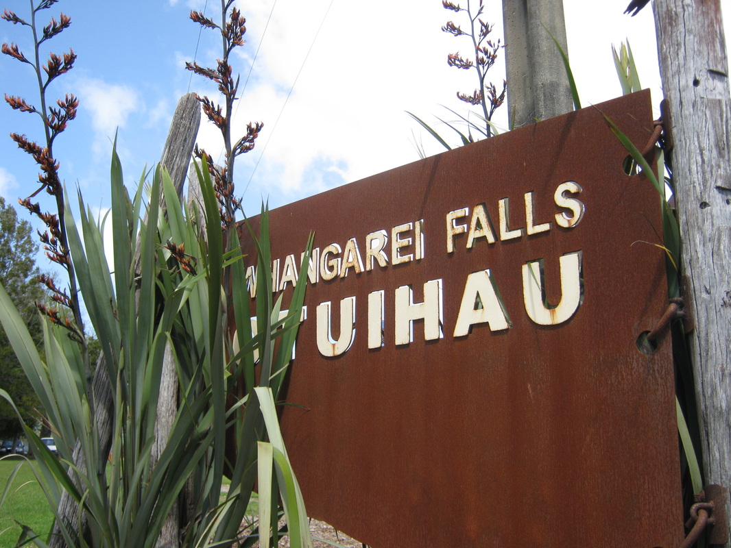
Traditionally Otuihau, as it w to Maori, and is still named today, was known an eeling for local Maori iwi. In the late 1800s nd 1900s it was a popular picnic area for Whangarei residents. In the late 1920s, Mr Archibald brought the property to stop it drom being developed as a watermill, so that the citizens of Whangarei and local Maori could continue to enjoy its benefits. In 1946 a local businessman's association raised the purchase price by public subscription and the property became vested as a public domain.
The picturesque setting is now a tourist attraction, with its park and walkways down to the bottom of the falls, and its native bush along the banks of the river. the waterfall is 26.3 metres high and falls over basalt rock cliffs. the viewing platforms and footbridge give spectacular viewing and photo opportunities .
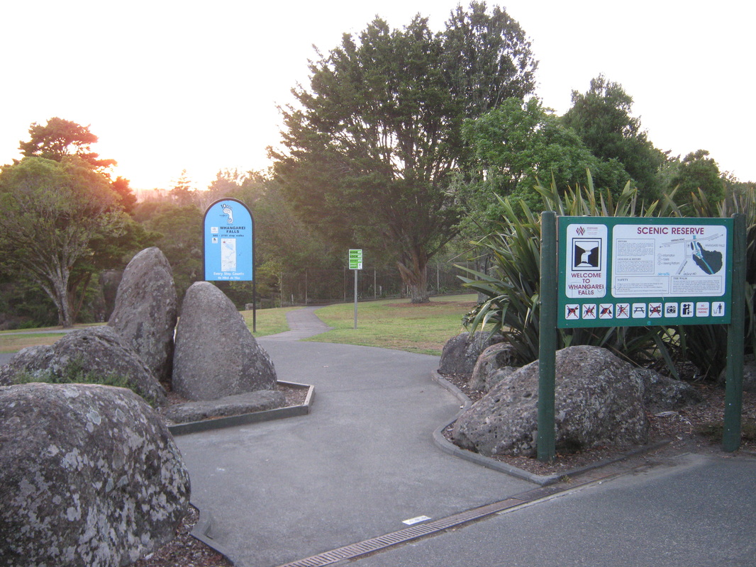
The Whangarei Falls Scenic Reserve is located at Tikipunga. As with the other pages, we will approach the reserve via the Hatea River Walk from the city end, which may seem a long walk, and it is if you attempt it in one go, fortunately you don't notice the distance. However, allow yourself the day to view the bush and its features leasurly, or splt the walks into sections as we have done on these pages. Here we take a photographic look at the section of the Hatea River Walk from the back of the Elizabeth Track in the A.H. Reed Memorial Kauri Park, to the picnic area above the falls at Tikipunga.
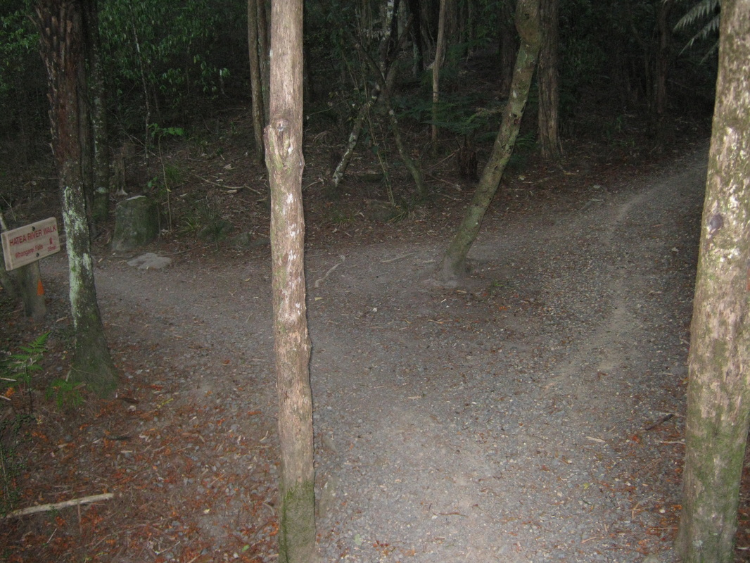
The Elizabeth Track meets the Hatea River Walk at the back of the A.H. Reed Memorial Kauri Park.
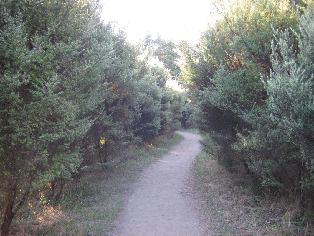
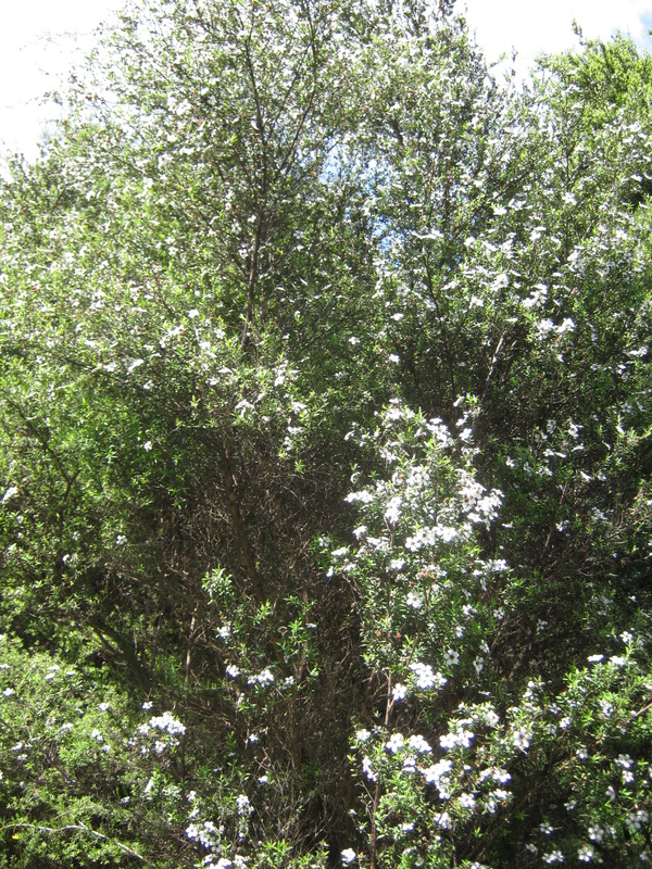
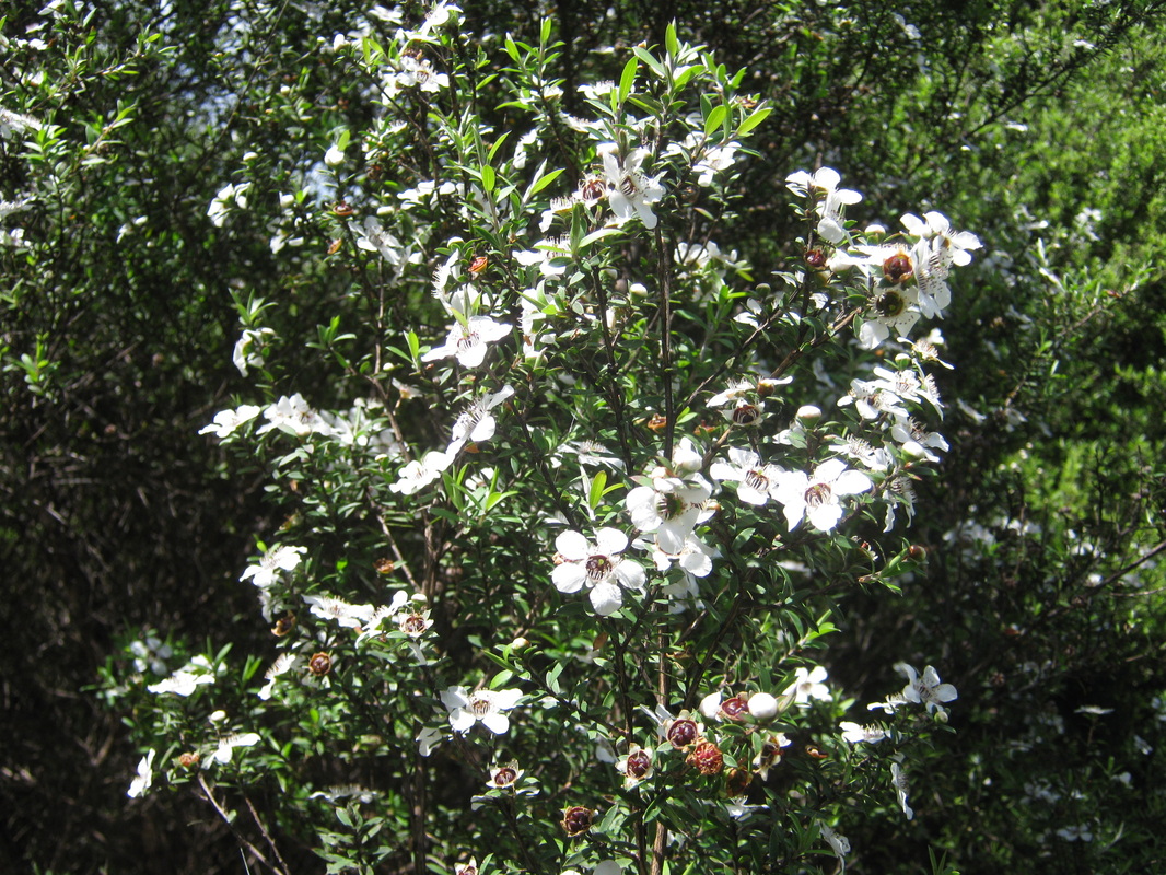
Part of the track is a walkway of Manuka (teatree), Leptospermum scoparium.
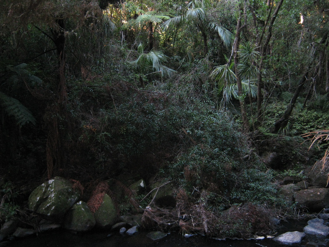
The bush on the river bank approaching the falls.
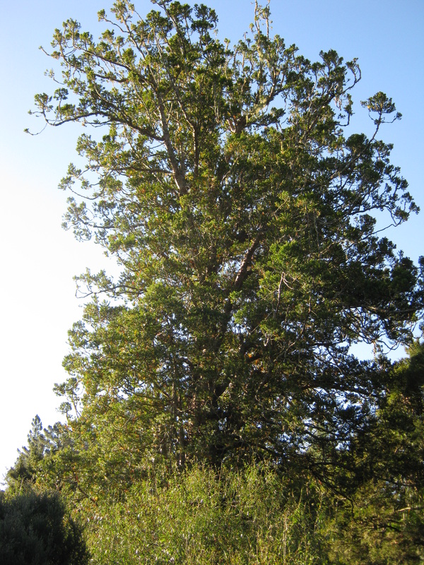
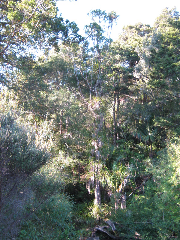
We spot the canopy of a large kauri up ahead on the river bank.
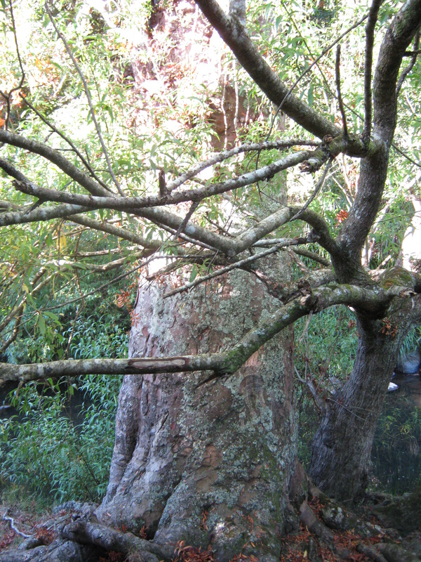
The large kauri growing on the river bank not far from the Whangarei Falls.
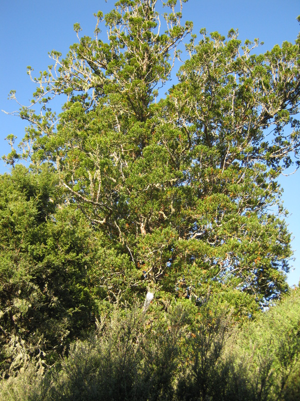
Looking up at the canopy of the large kauri.
The lush bush on either side of the track nearing the falls.
A large tangle of supplejack growing on the opposite side of the river bank (Rhipogonum or Ripogonum).
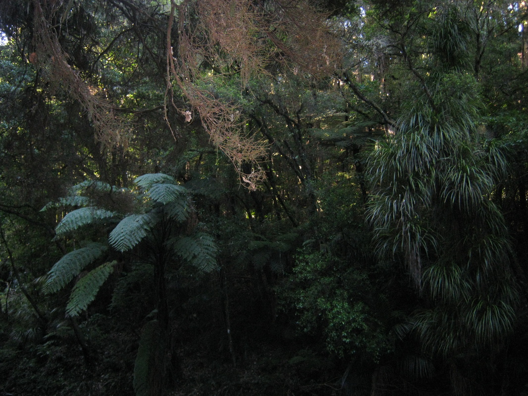
The opposite river bank. A bush full of epiphytes.
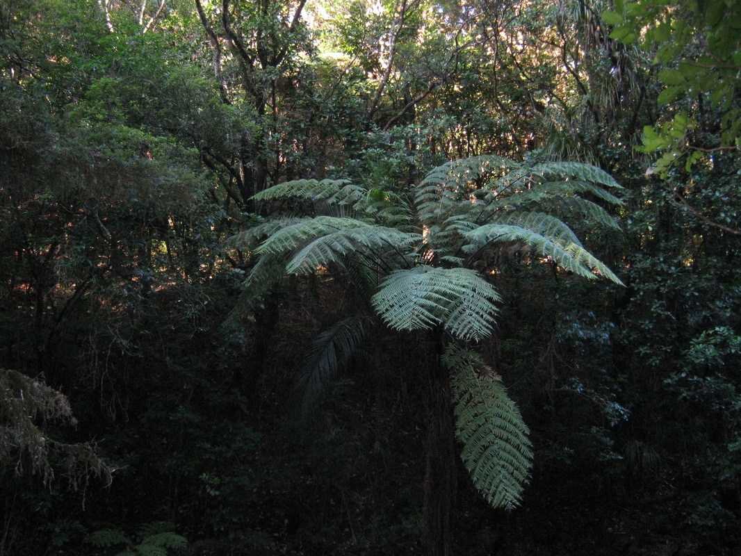
A nice blackfern (Mamaku) Cyathea medullaris growing on the far bank.
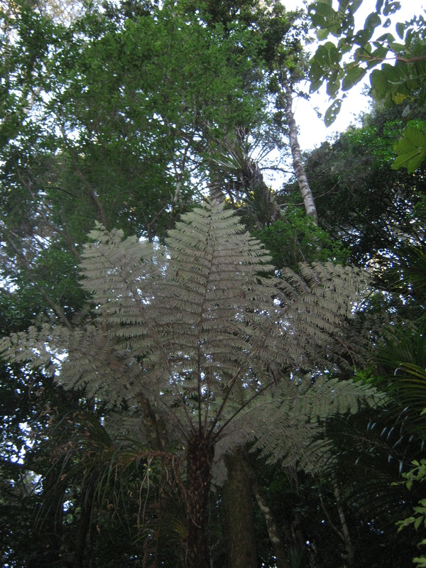
Looking up at a silver fern - Cyathea dealbata.
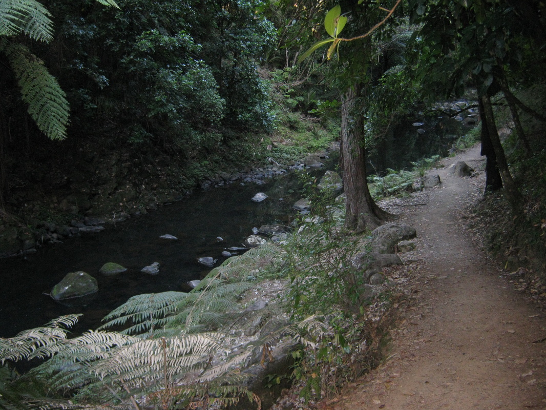
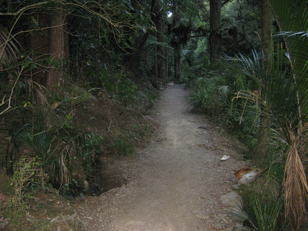
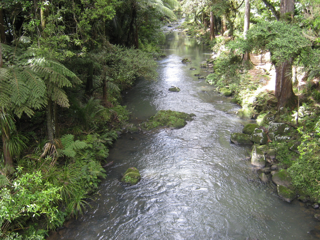
Looking back down river throught the bush. The wide track is well maintained approaching the falls.
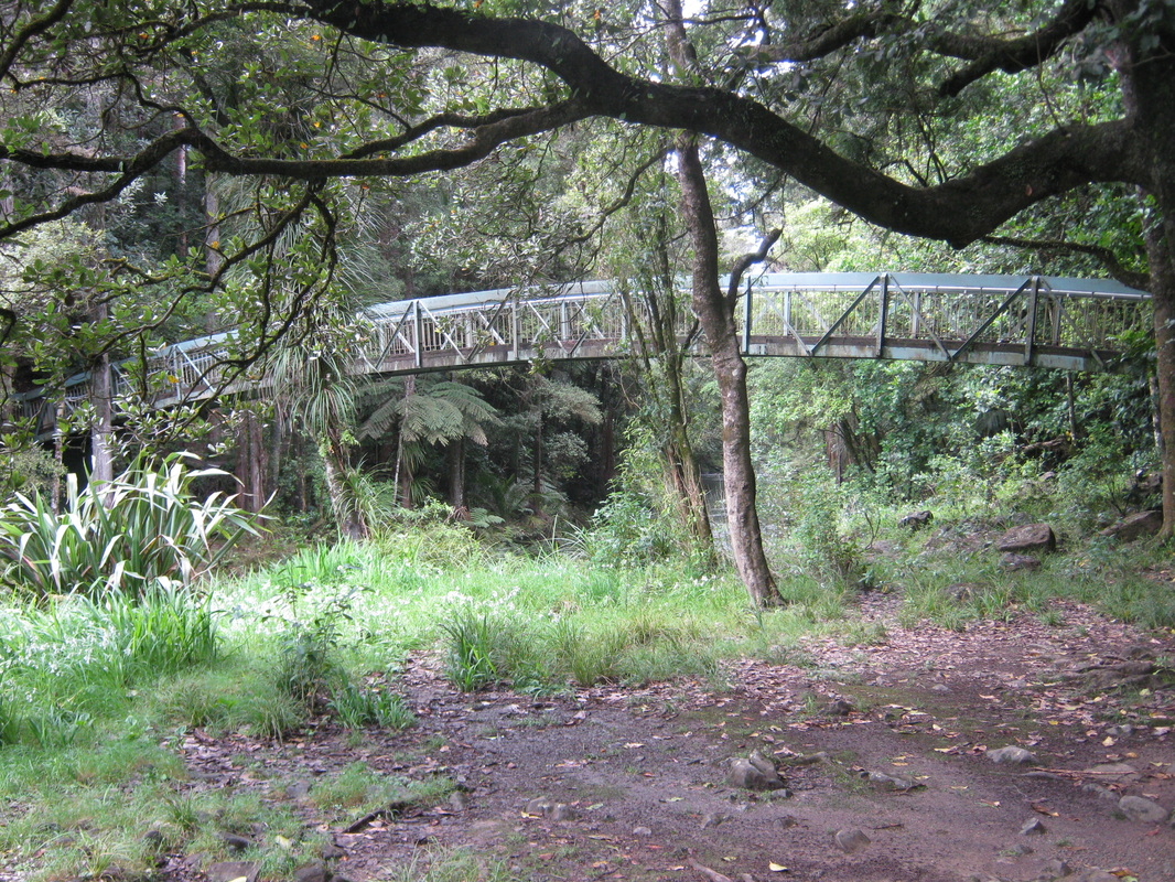
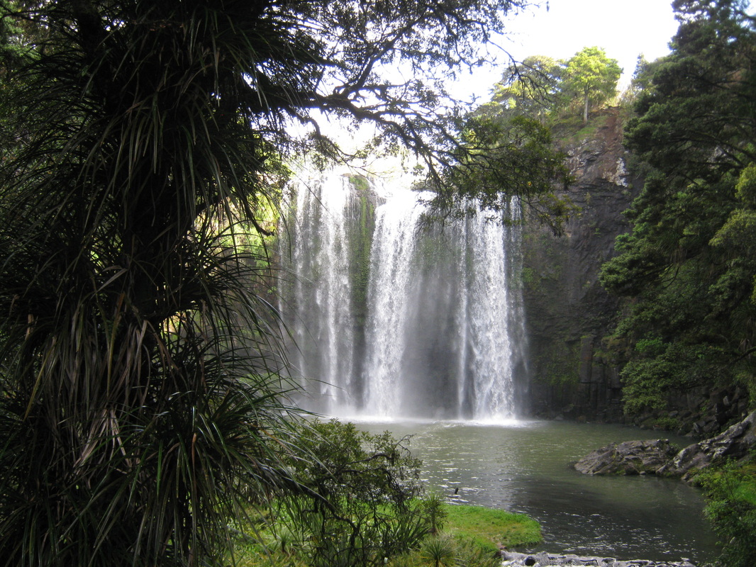
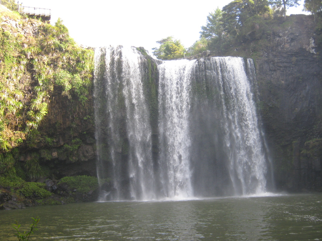
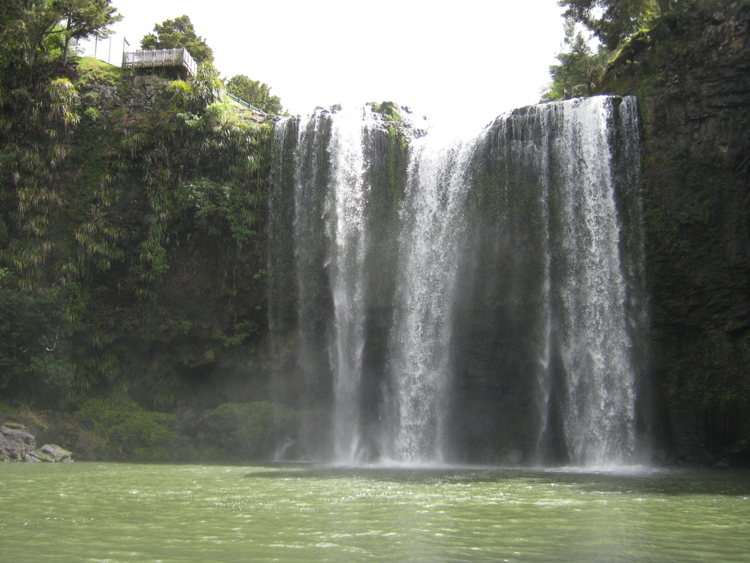
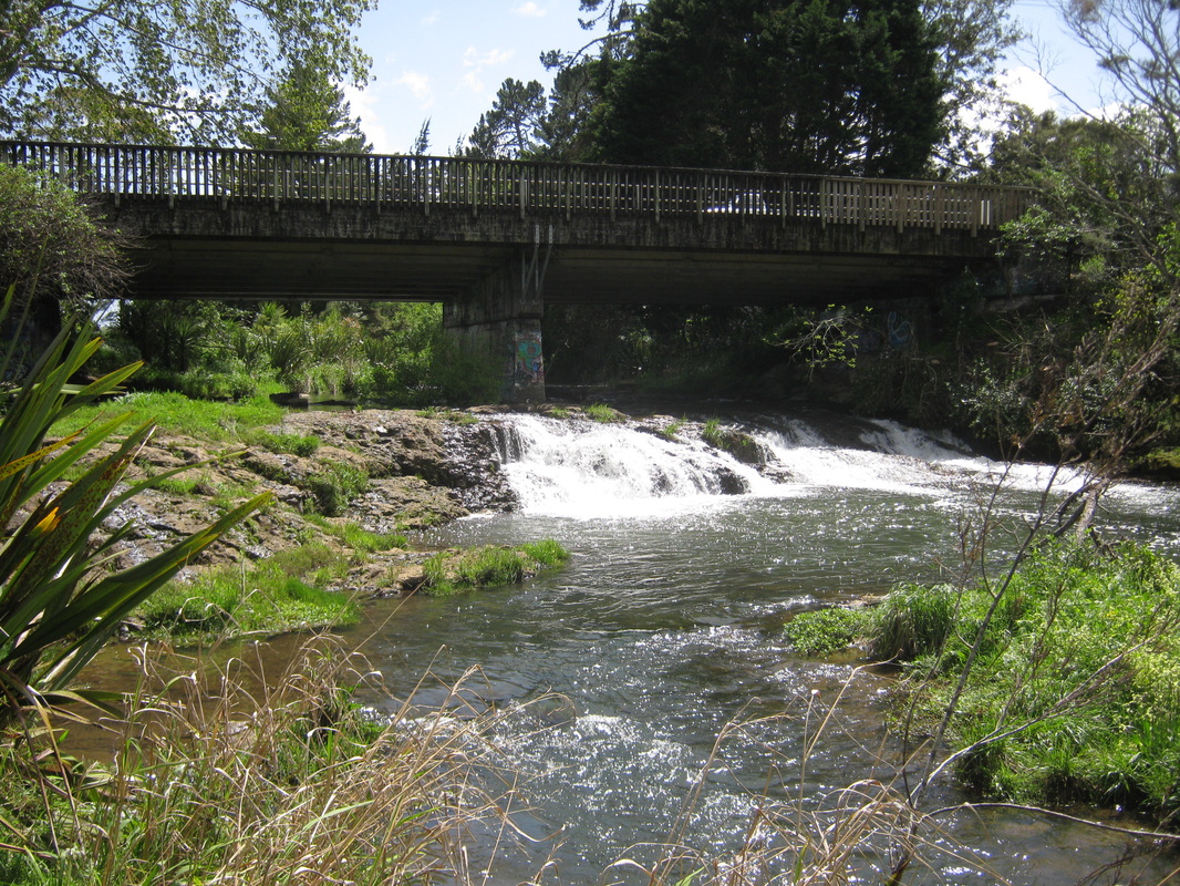
The Falls from the footbridge.
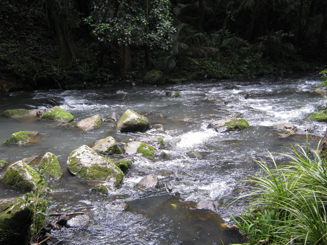
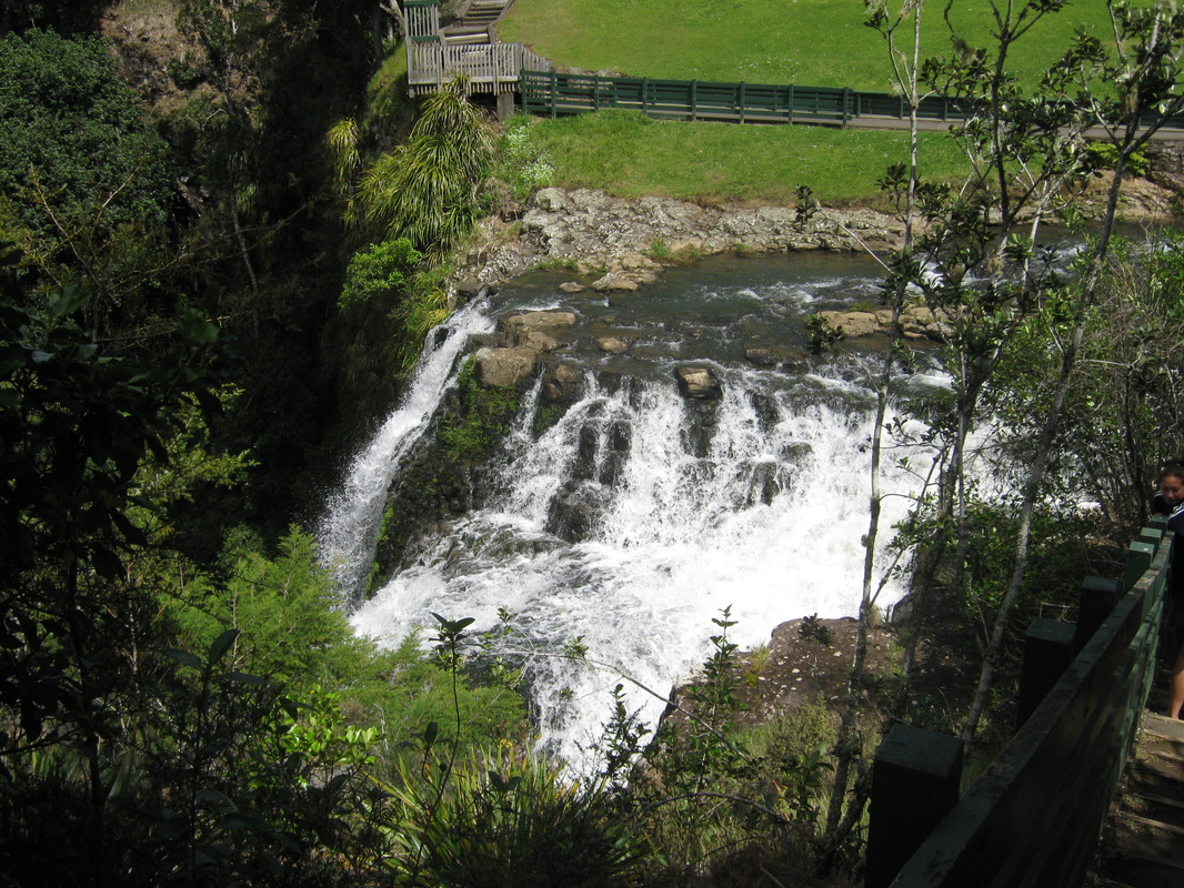
Looking down stream from the lower bridge.
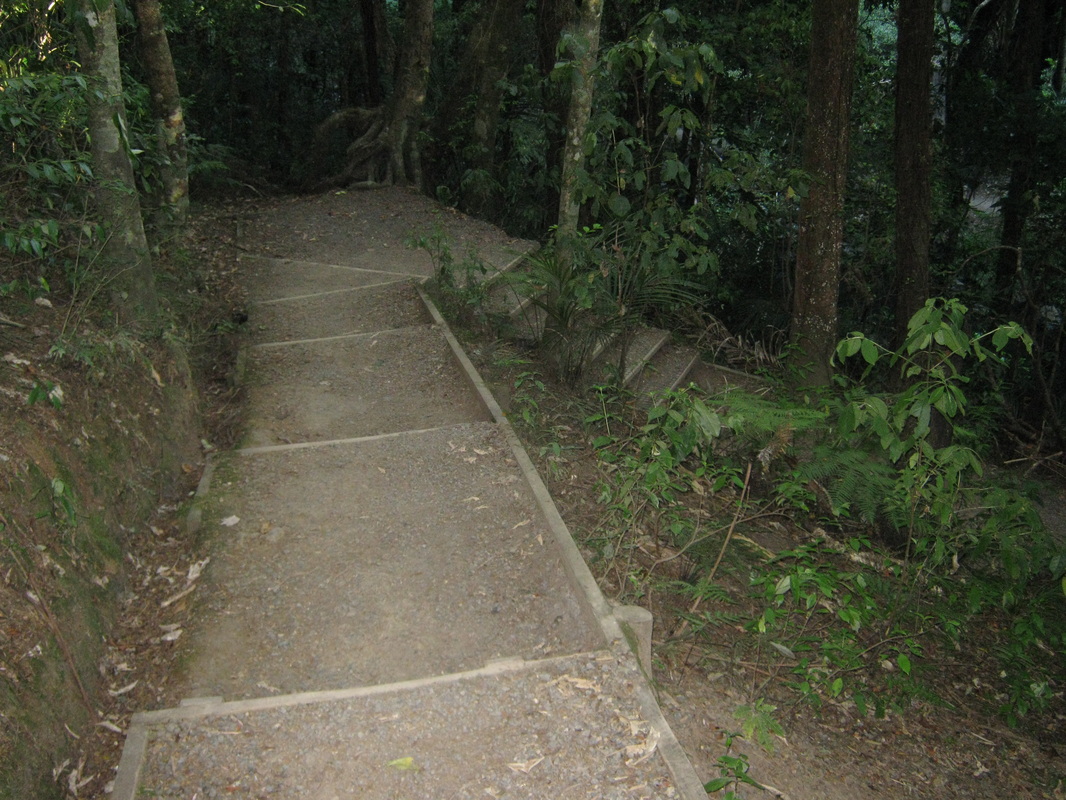
Part of the walkway up to the park above the falls.
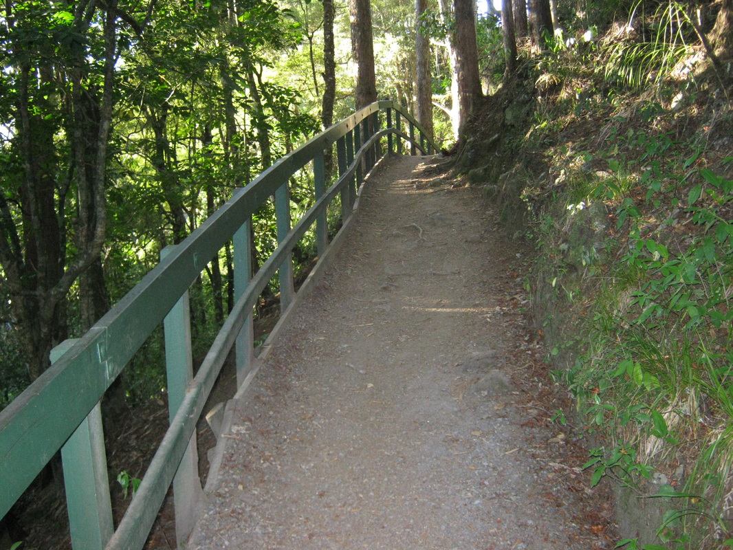
This part of the pathway is built around the side of the cliff face.
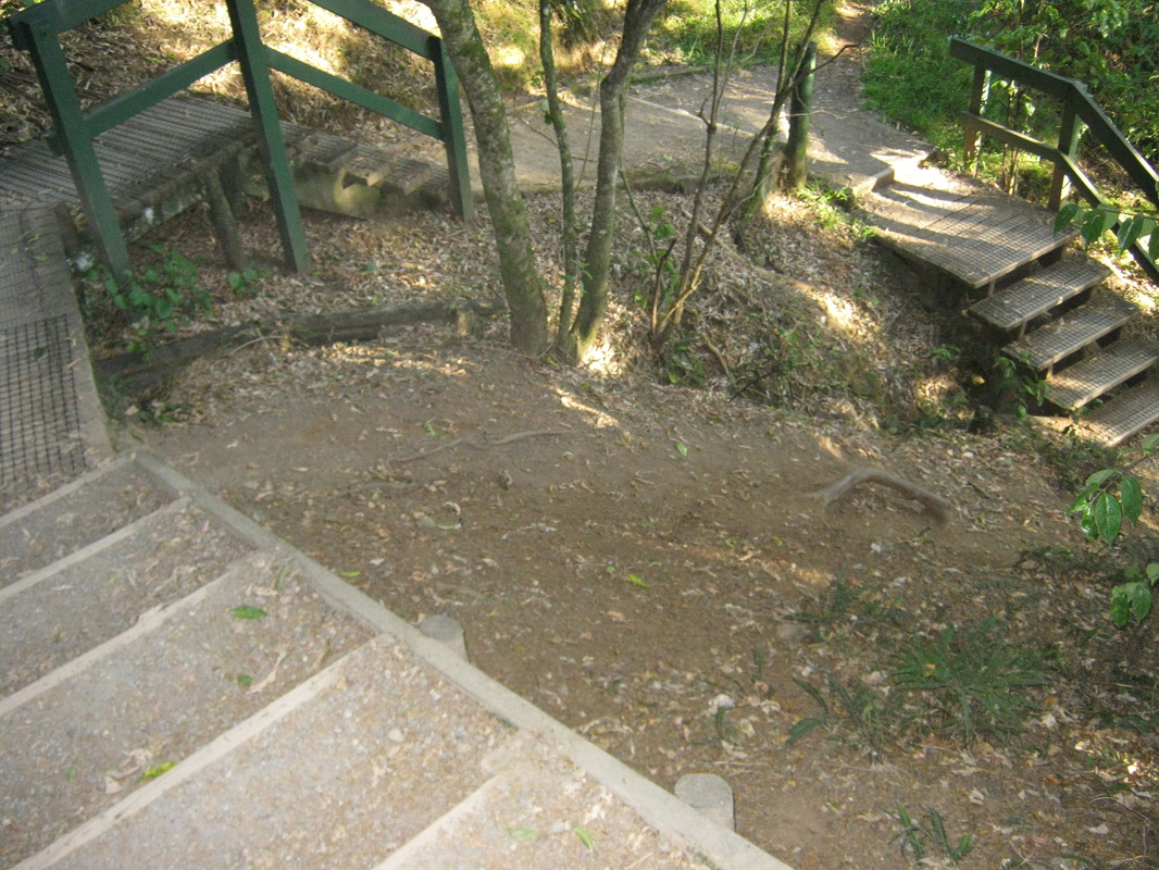
Looking back down the winding staircase to the lower bridge.
From the lookout at the opposite side to the park, across the upper footbridge.
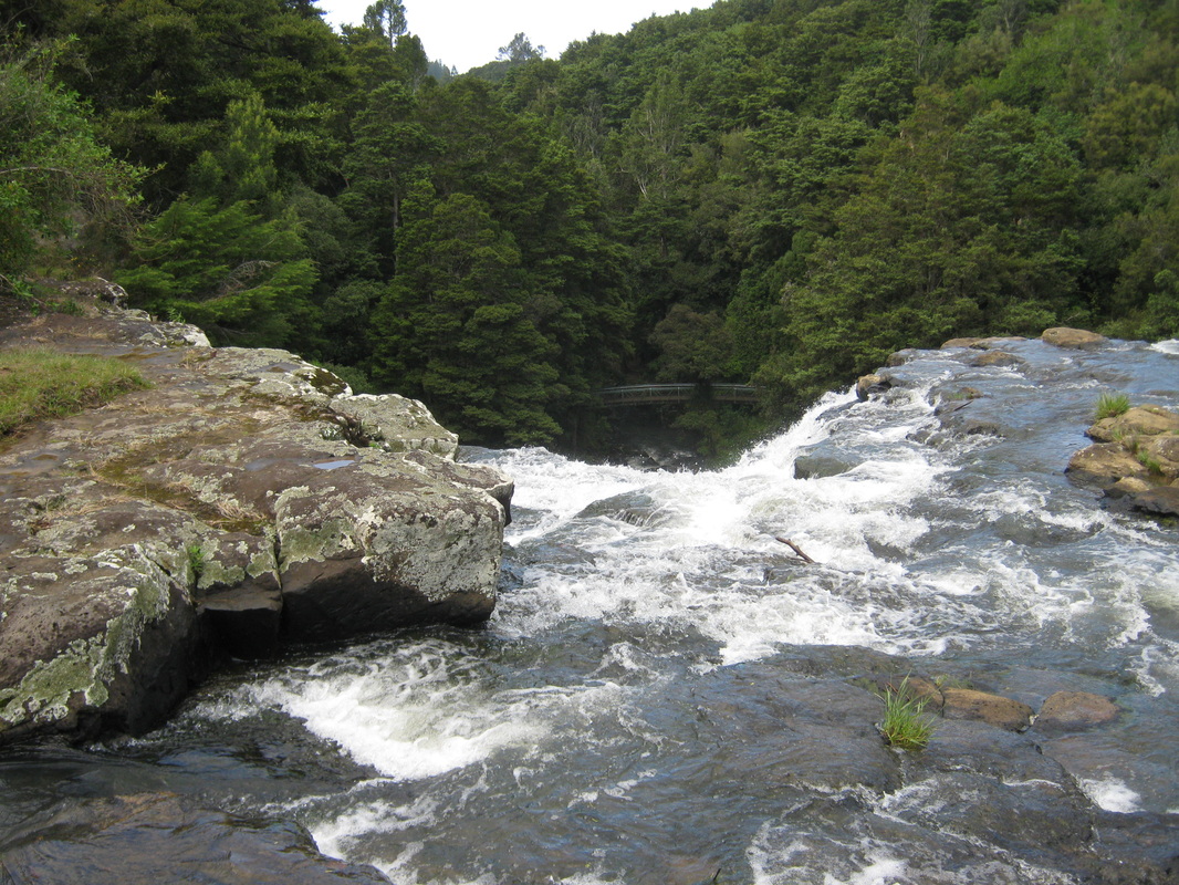
The rapids from the far lookout.
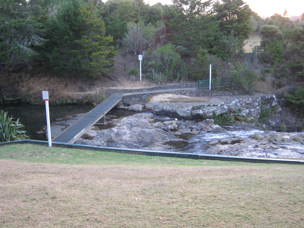
Foorbridge across the top of the falls.
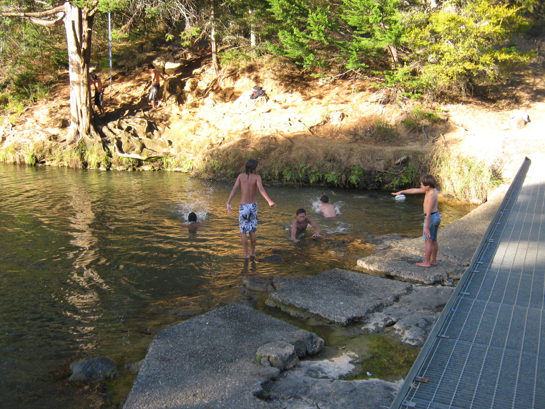
Young people swimming in the pool above the falls.
From the Parkside lookout.
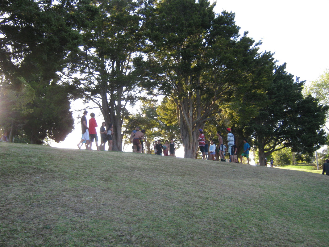
Young people playing in the park on a Sunday evening.
Looking upstream to the highway north, road bridge.

Looking downstream from the highway North, bridge.
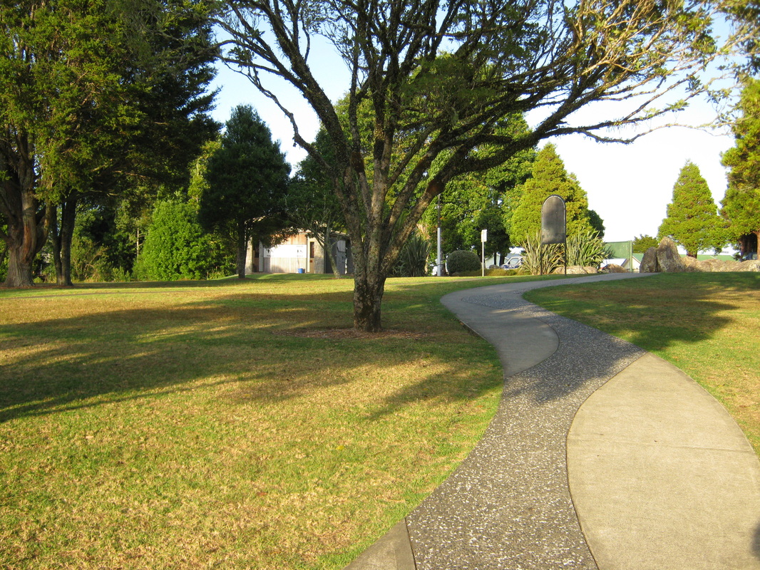
The pathway through the park above the Whangarei Falls.
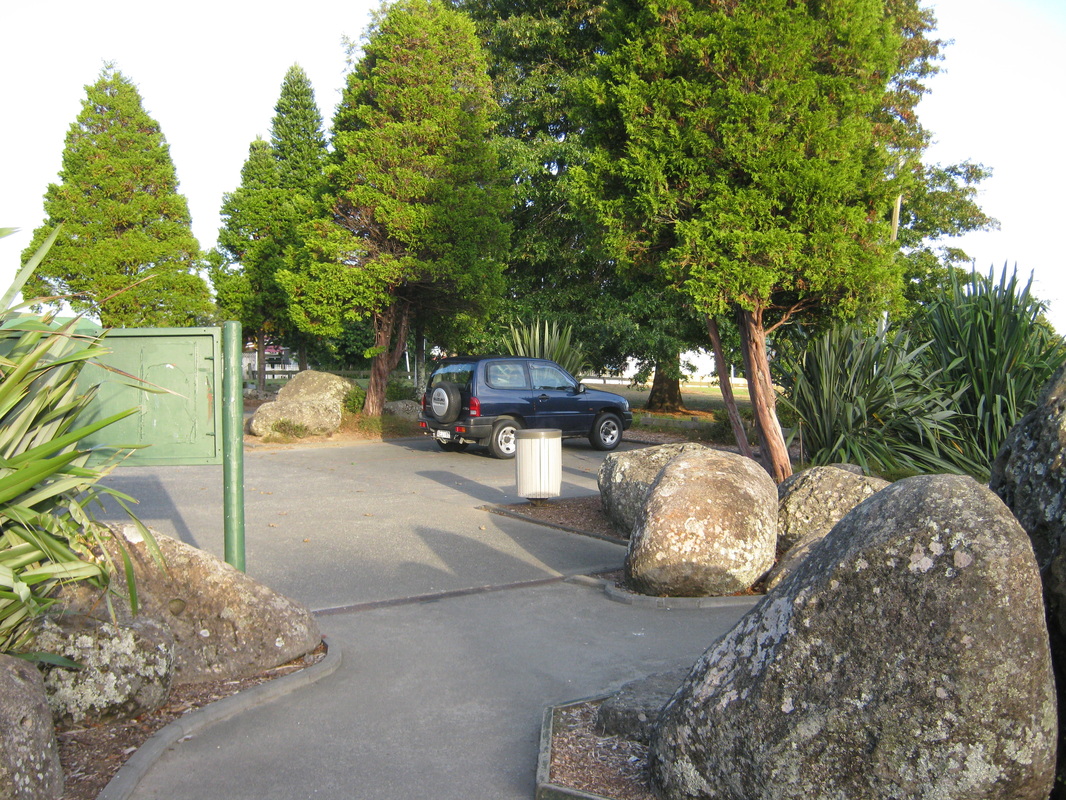
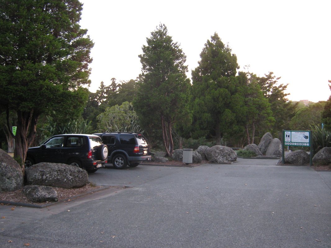
The car park is not very big, but nicely set out in bays for two or three cars.
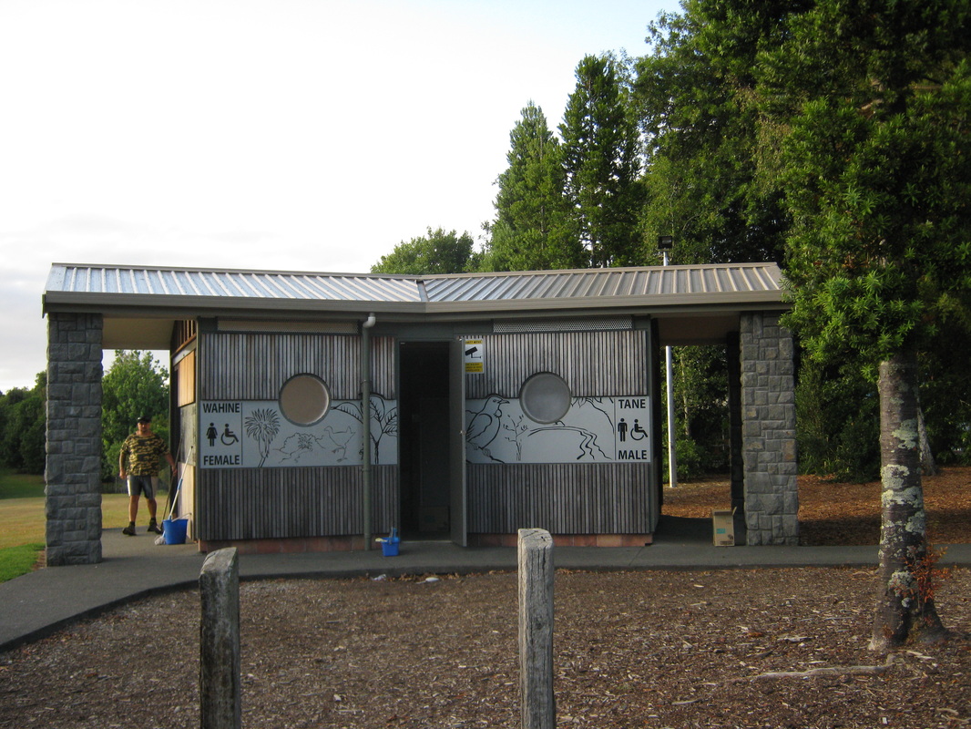
The toilet block having its Saturday morning spruce-up. Signs are in English and Maori. A lot of young kauri are planted in the park.
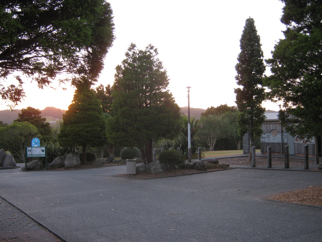
The sun is rising on the park ona an early summer morning in March 2013.
Looking into the car park from the road entrance.
A beautifully landscaped park planted with native trees.
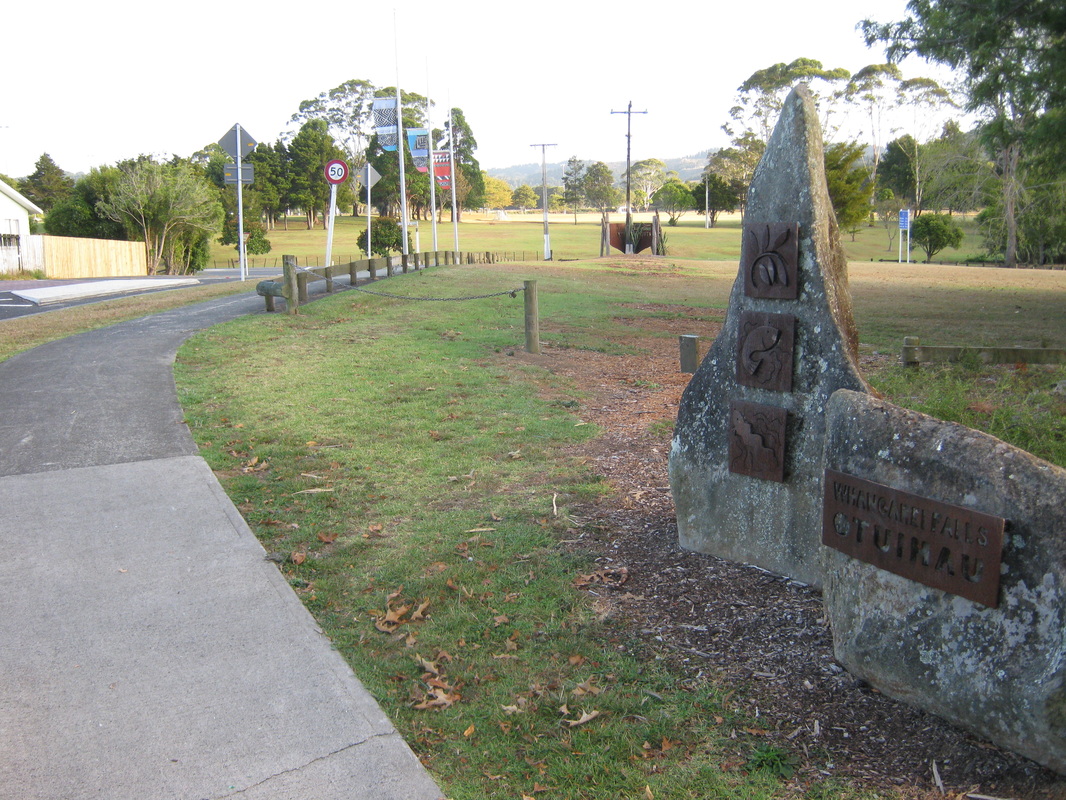
Boundary Road outside the park entrance at Otuihau,Tikipunga, Whangarei.