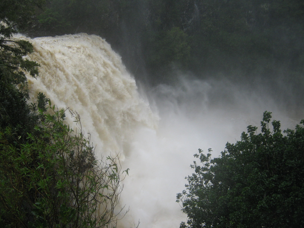
HEADER PHOTOGAPH: The normally docile Hatea River turns into a raging torrent during the storm.
The following photographs were taken during the storm of July 9th to the 11th, during which much of the Far North was without power, but although Whngarei only suffered minor damage in comparison, the force of the storm was seen in the spectacular Whangarei Falls, raging Hatea River and Waiarohea Stream through Whangarei City.
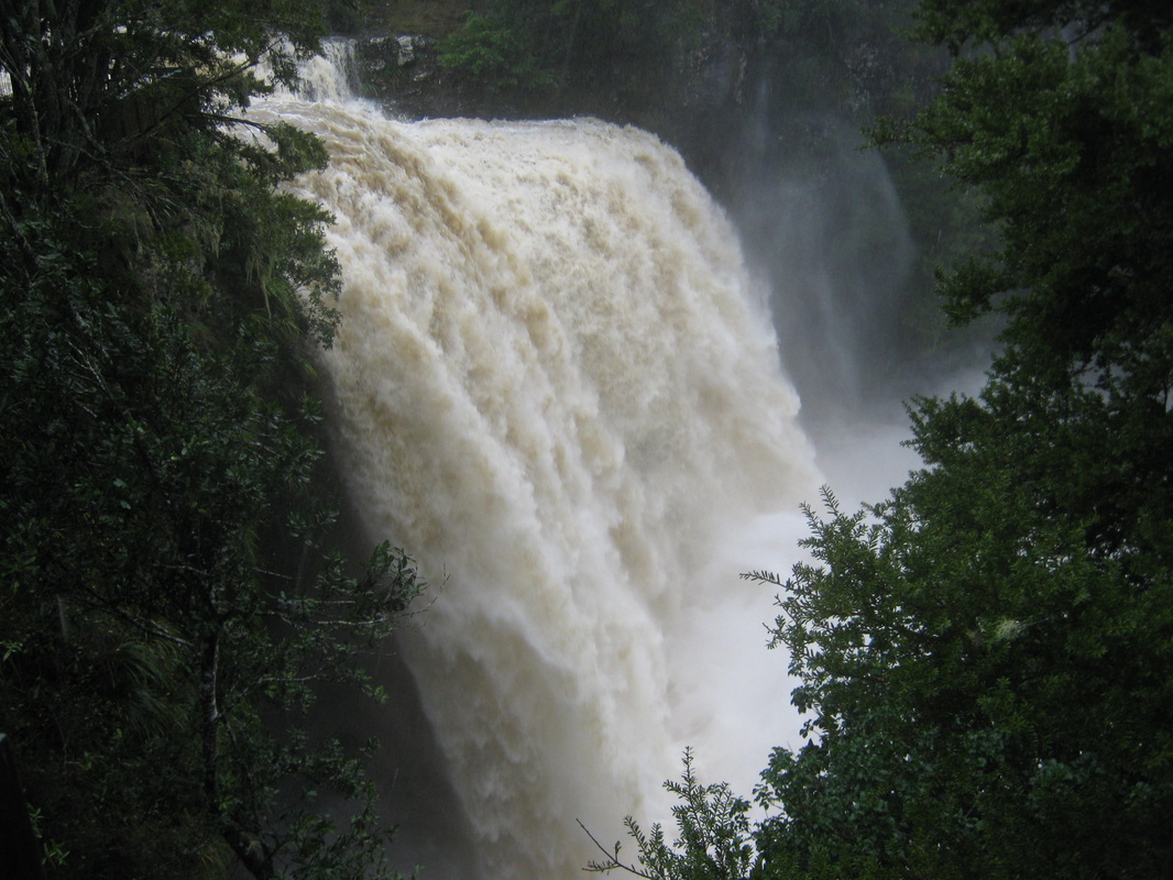
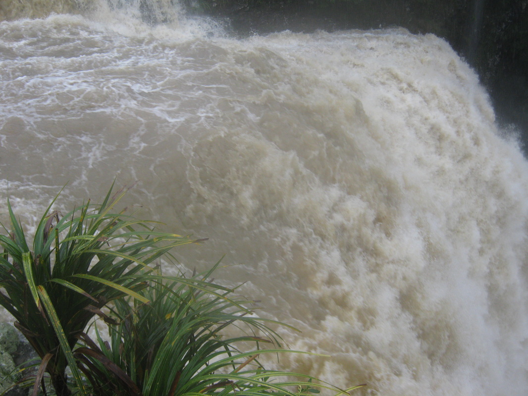
WHANGAREI FALLS. In the first photograph, taken of the area above the falls, the footbridge across the river and the pool above the bridge, are completely obliterated by floodwaters, as is the footpath . Part of the park was cordoned off for public safety. In the last photograph the picnic area and table is underwater and the access to the Hatea River Walk is cut off by floodwater.
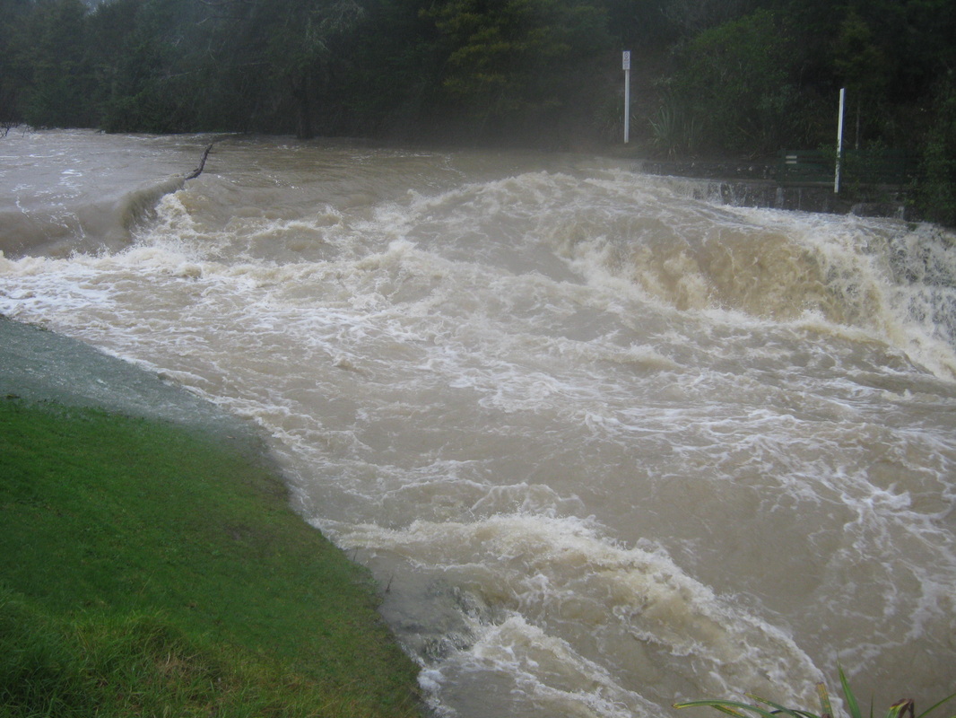
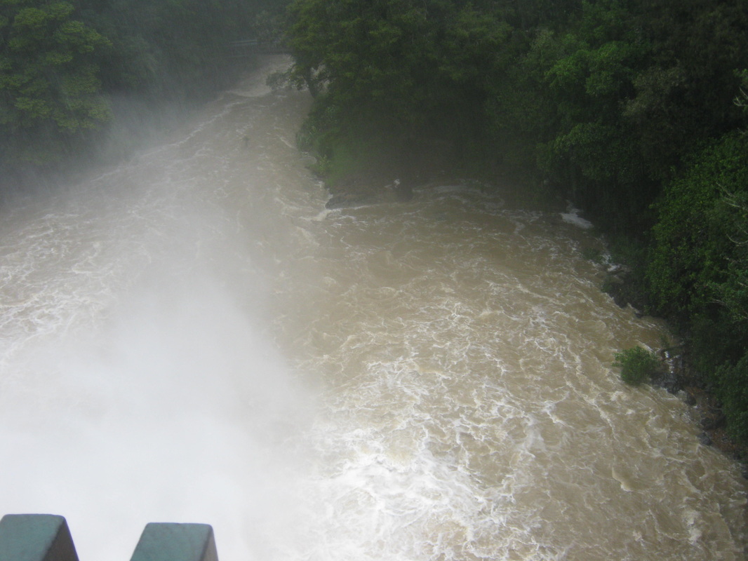
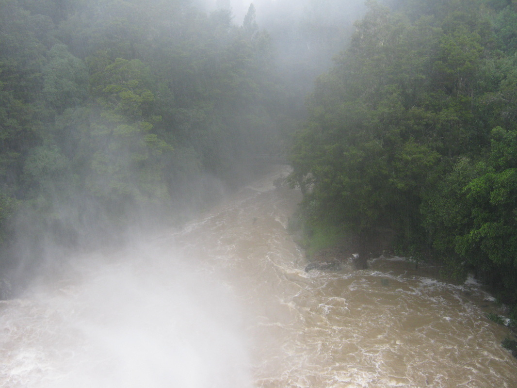
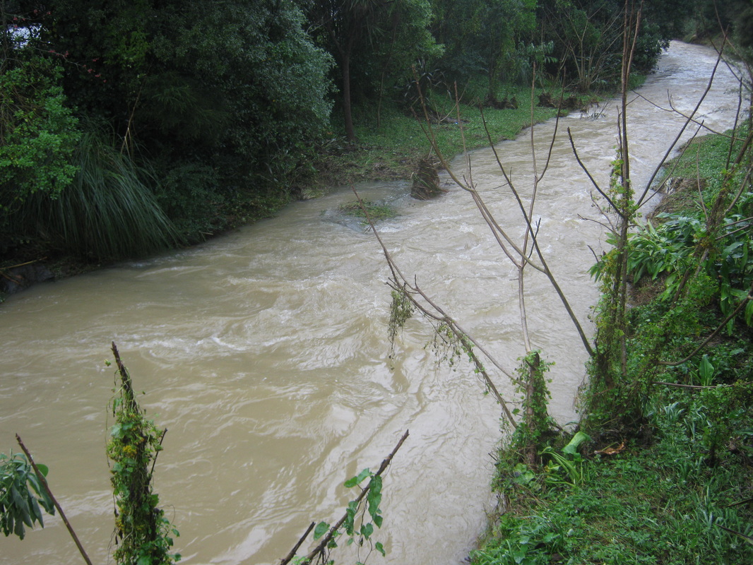
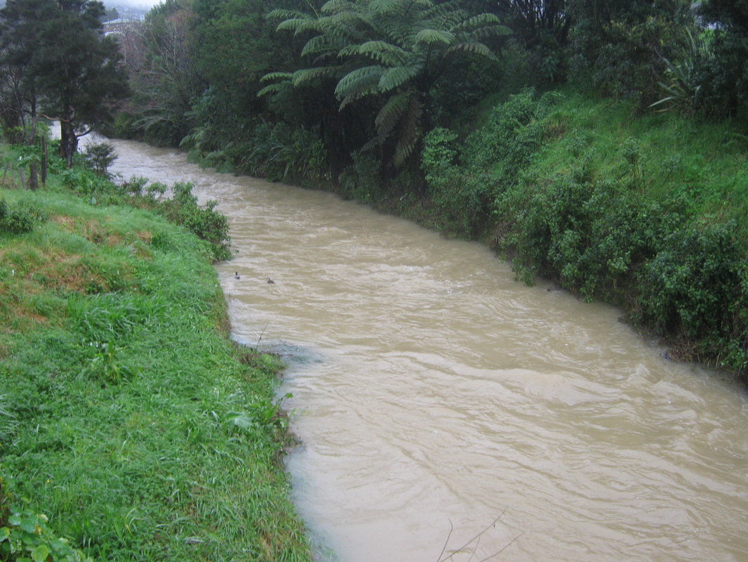
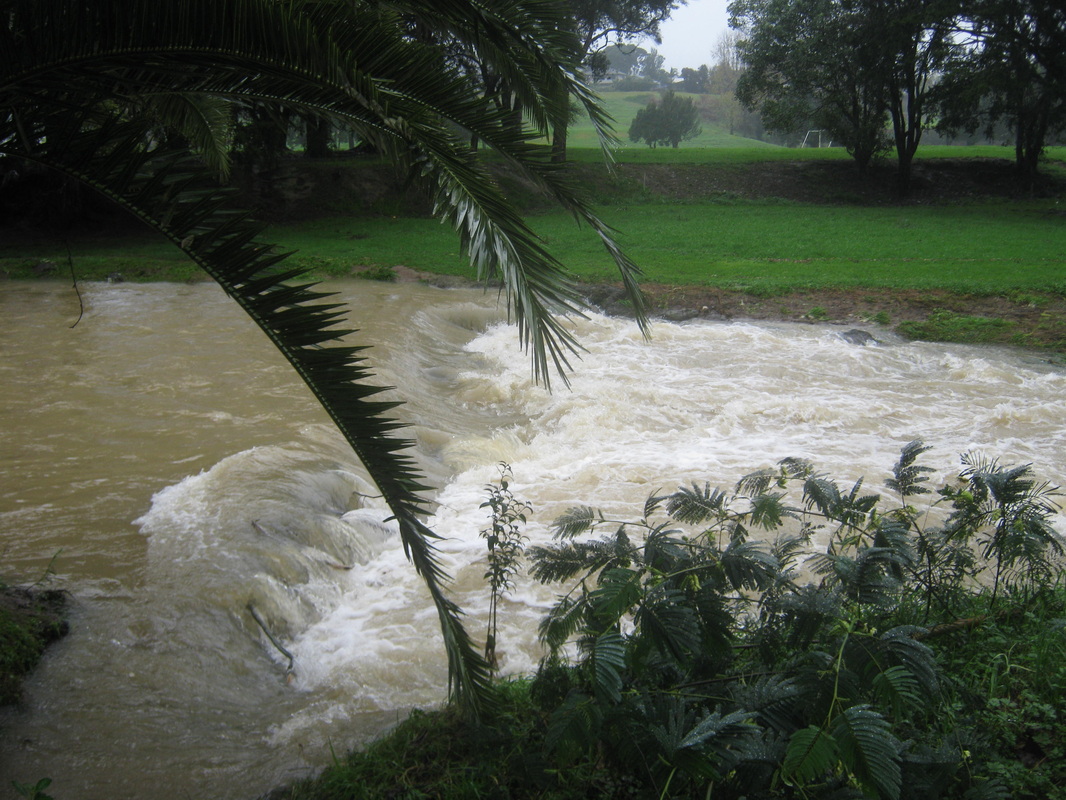
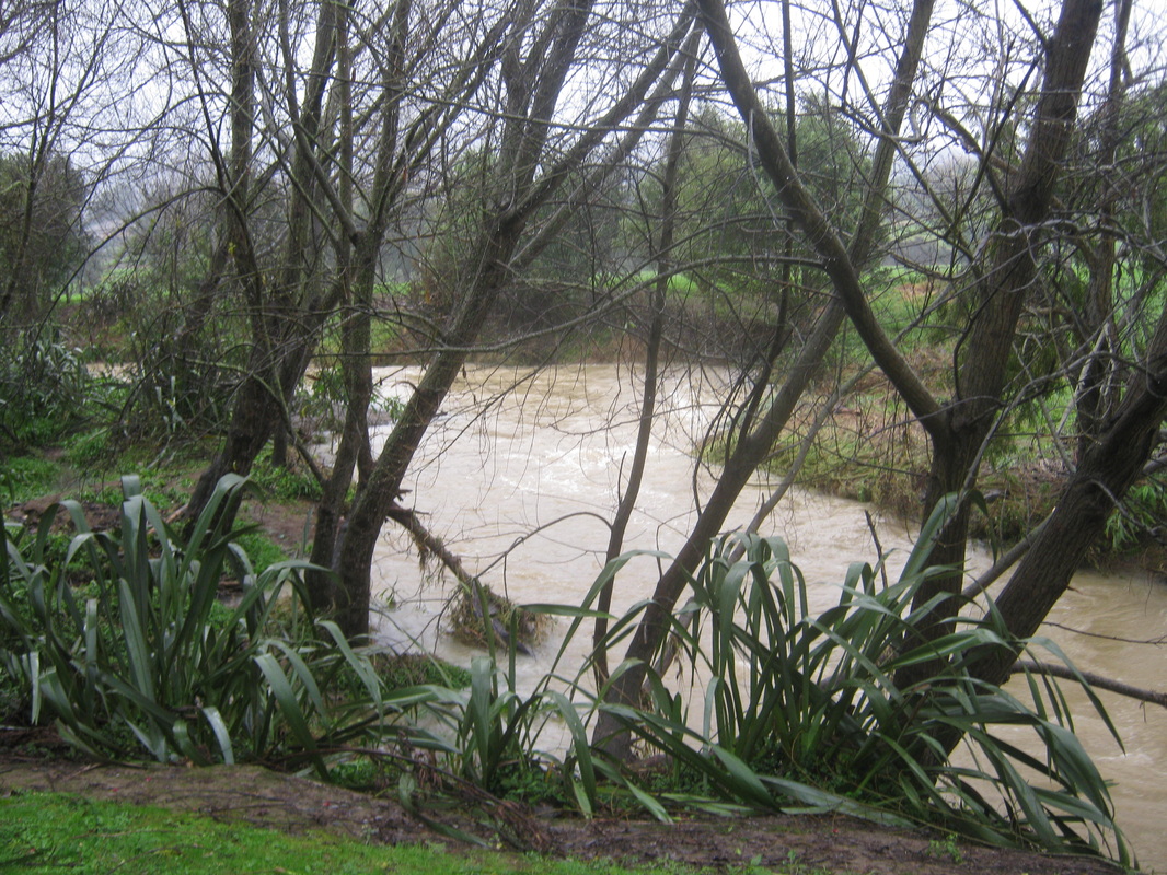
WAIAROHEA STREAM. Photographs taken on the 12th of July 2014. In the third, fourth & fifth photographs, the weir is covered, forming a rapid. Pupils from Whangarei Boys High normally cross on this weir to reach the school on the opposite bank.
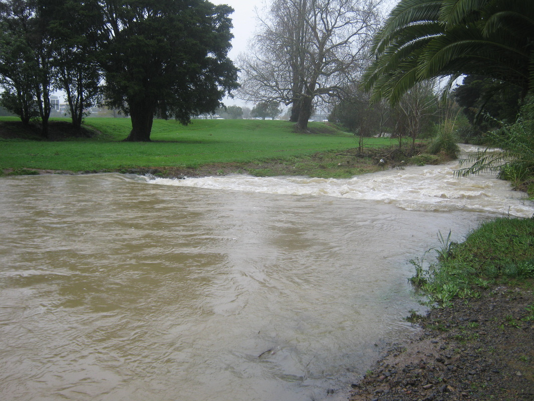
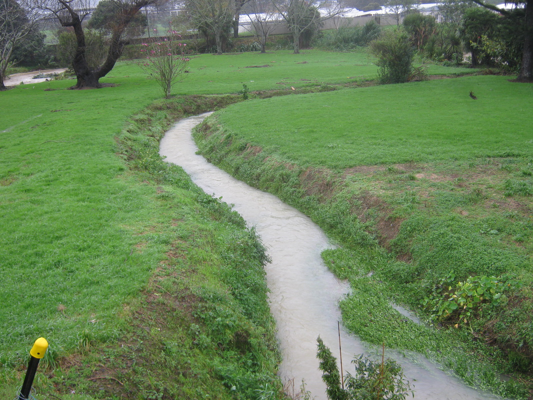
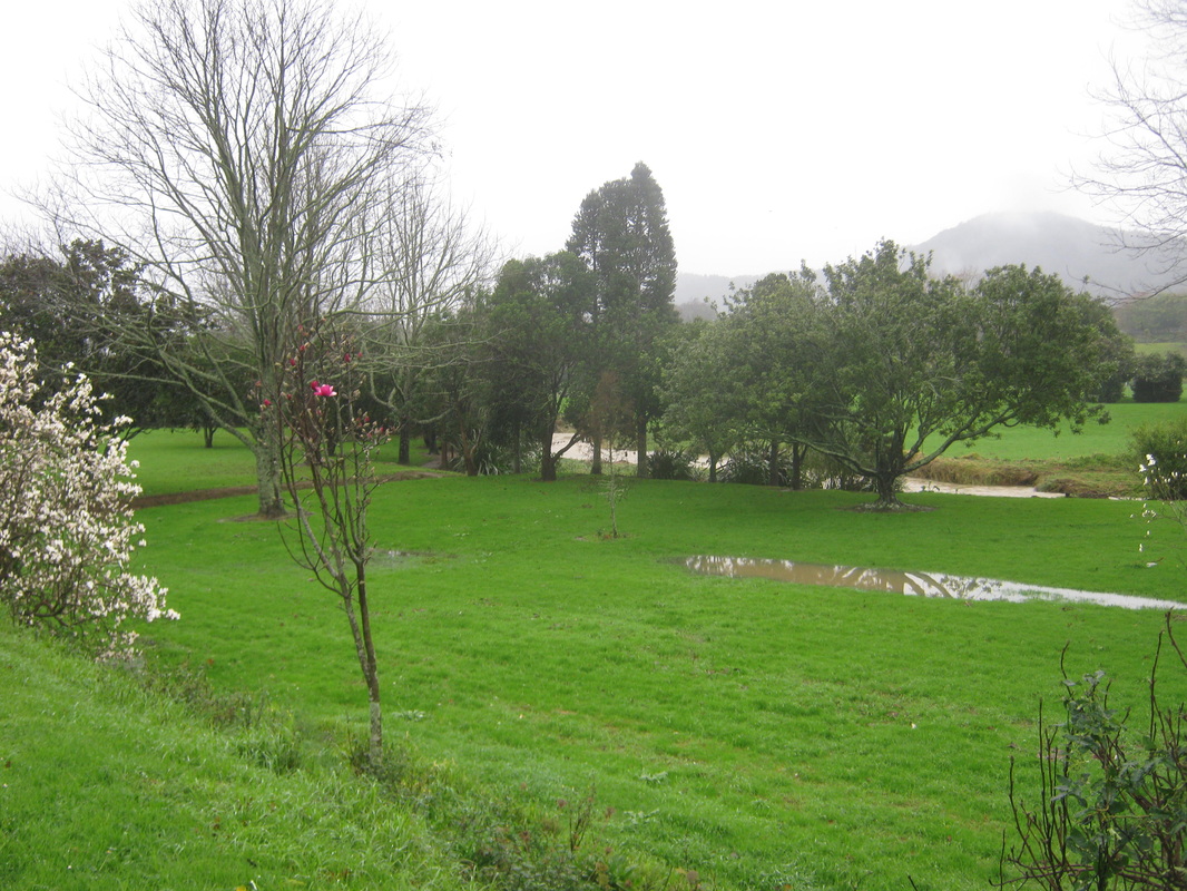
RUN-OFF DRAIN FROM CORONATION RESERVE. Normally this drain is simply water-weed covered with little sign of water, and the field in the Waiarohia Reserve masks the stream beyond. However, in this photograph of the Reserve the Stream has risen to be clearly seen. Photographs taken on the 12th of July 2014.
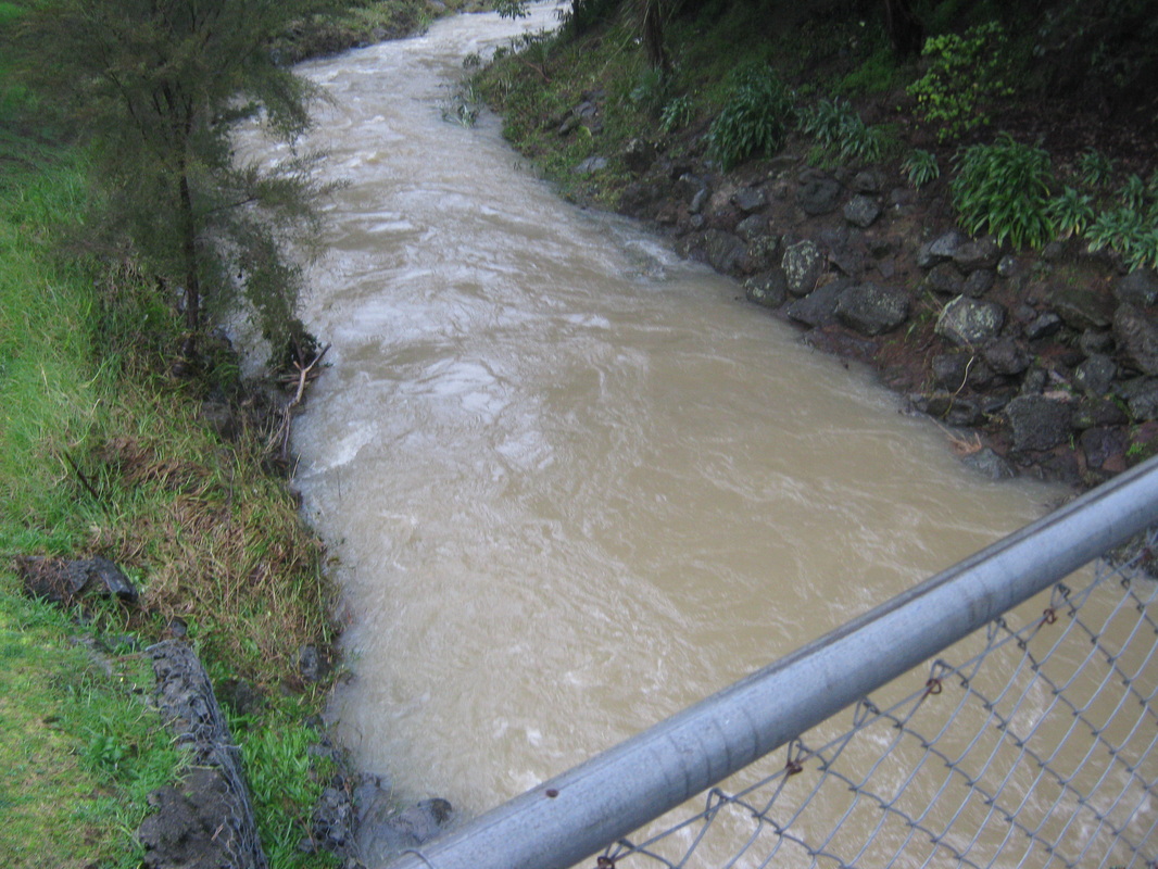
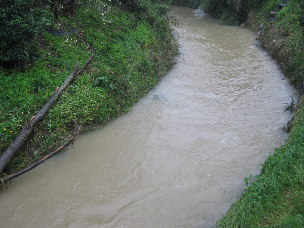
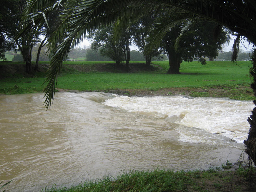
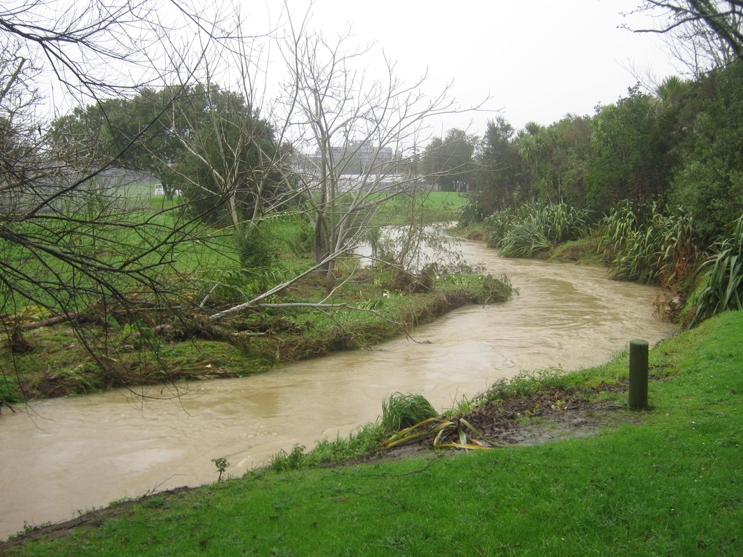
WAIAROHIA STREAM THROUGH CAFLER PARK. Photographs taken on the 11th July 2014.